<< Back to Map Development Forum   Search

Posts 1 - 20 of 32   1  2  Next >>   
Large North America Map Idea: 2/15/2012 03:09:43


Sir Nick
Level 2
Report
WarLight has a map of North America, but its lacking quite a lot of things.

So, I was thinking of expanding North America with more territories.

First off, adding Alaska, Greenland, and other Caribbean Islands.
They aren't on the map, kind of odd.

The larger countries would be split into it's own States/Provinces/Territories.
The USA with it's 49 states (No Hawaii), Canada with 10 provinces and 3 territories, and Mexico with 31 states.

I'm working on drawing a rough image of this idea.

Just throwing it out there.
Large North America Map Idea: 2/15/2012 13:34:19


Moros 
Level 50
Report
I think you should make it bigger than the states and territories, otherwise it will be 90% the original map, and shouldn't ear the title "big"
Maybe find a way to divide each state, territory and province in 4 or 5 pieces, so you can make those individual bonuses too. Of course that division doesn't count for Rhode Island :)
Large North America Map Idea: 2/15/2012 14:55:44


Ironheart
Level 54
Report
adda hawai since it is in america split the states of america and provinces and teritories into smaller territories
Large North America Map Idea: 2/15/2012 15:19:56


Typhoon 
Level 50
Report
I do agree that this map would be great if you were willing to put the time and effort into making it big. (say 1,000 territories). Using only states and entire missing countries you'd get about 100 territs. How to divide those 100 territs; however, is a whole new question :/.
Large North America Map Idea: 2/15/2012 18:44:06


Moros 
Level 50
Report
Hawaii shouldn't be in the map because it may be part of the USA, but it's not on the North-American continent. You wouldn't make a map of Europe and add French Guyana, would you?
Large North America Map Idea: 2/15/2012 19:53:28


ChrisCMU 
Level 61
Report
Hmm, I agree with 4-5 per state. Not many pre-set regions like that though (it is less than counties).

One suggestion is Congressional districts (problem is some don't have subdivisions):

http://en.wikipedia.org/wiki/File:US_Congressional_Districts_color.svg
Large North America Map Idea: 2/16/2012 16:59:49


Ironheart
Level 54
Report
moros i thougt Hawaii was in north americ guess i was wrong my geography isn't that great
Large North America Map Idea: 2/16/2012 17:05:53


Ironheart
Level 54
Report
also for splitting the states of america use districts just type in google images e.g texas district and use the one u want for borderline and name same for canada.
Some might give u county maps but the district maps are just counties merged together
Large North America Map Idea: 2/16/2012 17:10:07


Ironheart
Level 54
Report
ignore my last post for america use state judical districts you have to use districts for canada
Large North America Map Idea: 2/16/2012 19:55:07


Moros 
Level 50
Report
Do you mean [this](http://www.txcourts.gov/pubs/AR2008/ajr/BW_AJR.jpg) image? If the regions had names instead of numbers it would be great!
Large North America Map Idea: 2/16/2012 21:02:09


ChrisCMU 
Level 61
Report
Uh, Hawaii is part of North America (and I am a geography major). If it wasn't part of North America, what continent is it on? Asia? South America? Australia? Guam on the other hand is a US territory not part of North America.
Large North America Map Idea: 2/16/2012 21:21:40


ChrisCMU 
Level 61
Report
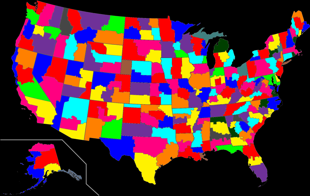
BTW, there are all kinds of mapping data sets out there for free that you could use as your base. They are already vectorized and could be converted to illustrator files. For example, this one is US census districts:

http://data.geocomm.com/readme/usgs/atlas/html/censusmt.html

You can open the table (link that says download table) in excel and see the list of polygons. That one has 3194 of them for the country.

You can also download a free GIS viewer that will let you look at the data itself:

http://www.esri.com/software/arcgis/explorer/index.html

I'm not sure if it allows for exporting to ai files, but if not I could do that for you (just make sure you know you want to use that data set so it is a limited number of requests).

Anyway, using vector data out there saves a lot of time over trying to vectorize a map with a background on it.
Large North America Map Idea: 2/16/2012 21:33:54


Sir Nick
Level 2
Report
OK, below is a map of the USA split into Regions.
A region just part of a state named after a culture, landscape, or a direction.


![](http://i1174.photobucket.com/albums/r616/SirNick-WL/USA_Parts_without_Lines.png)

Also, Hawaii being a part of North America is really just opinion based.
It is more commonly associated with the other territories of Oceania.
It also makes this map easier to make.
Large North America Map Idea: 2/17/2012 14:17:01


Ironheart
Level 54
Report
coool map nick also when u do canada some provinces or territories might have to be more than 1 bonusbecause canada has big provinces and states.
Large North America Map Idea: 2/17/2012 14:18:52


Ironheart
Level 54
Report
territories (edit of states in last post)
Large North America Map Idea: 2/17/2012 15:51:43


Moros 
Level 50
Report
@Iron Heart

What do you mean with "some" may have to have more than one territory? That's pretty Amerocentric of you thinking the US is bigger then Canada. Of course they all should be divided into territories!
Large North America Map Idea: 2/17/2012 19:57:09


Ironheart
Level 54
Report
moros wat are u saying canada is the 2nd biggest country in the world i never said the us is bigger and i am not amerocentric i only said the provinces of canada the 18 might have to split into more than 1 bonus because of there size
Large North America Map Idea: 2/17/2012 20:00:51


Ironheart
Level 54
Report
moros great u still call me ironheart i wish i could change my name back not just because of the typo in my name but am not feeling it
Large North America Map Idea: 2/17/2012 20:35:28


Moros 
Level 50
Report
O sorry, I thought you said that one province might need to have more than one territory. That sounds like you think that Canada is so small it might not even need to be divided further than it is with the provinces and territories.
Large North America Map Idea: 2/17/2012 20:36:37


Moros 
Level 50
Report
And I had the same issue with Moros, that also started as a joke, but the minute after I changed it I wanted it to be Harmenator again :) But now I can change it back, I don't want to any more :)
Posts 1 - 20 of 32   1  2  Next >>