<< Back to Map Development Forum   Search

Posts 1 - 20 of 29   1  2  Next >>   
Because never enough Europe maps: 6/18/2016 07:06:38


Urfang
Level 57
Report
I found an interesting projection of Europe and plan to make a historic map with date 843 Treaty of Verdun. Easy to define borders in Frank Empire and Byzantine Empire but hardcore in East-Europe.

I hope the Warlight cartographer community can help to find maps about any part of Europe in the middle of 9. century. Especially interested about East-Europe most maps dont show there state borders just tribal territories of slavic, baltic and finno-ugric tribes.

Can you show nice maps about them?
Because never enough Europe maps: 6/18/2016 11:46:19


zxctycxz [Ollie Bye] 
Level 59
Report
I was planning on doing something similar for my next map, about the three-way conflict between the Arabs, Byzantines and Sassanids in the early 7th century.

Anyway, I can make a map of Europe in the middle of the 9th century if you want.
Because never enough Europe maps: 6/18/2016 17:30:34


Urfang
Level 57
Report
If you want just do it. We can make even two versions. I guess you thinking on a big map but I prefer the medium size. Earlier I made a medium size 11. century Europe map simultane with Moros' big version but we didnt discussed.

The projection what I noted pretty special non-flat sphere-like with the Edge of the Earth. This means not easy to draw accurate borders. But if you have a good map I would be grateful if you share with me.

We can help eachothers project. I know some things about 9. century East-Europe. Without exact borders know the locations of West-Slavs (Obodrite, Sorb, Lyutich, Pomeran, Polish, Czech, Morva, White-Croat) East-Slavs (Dregovych, Radimych, Drevlyan, Severyan, Duleb, Krivych, Vyattych, Ilmeny) Finns (Finn, Eesti, Livon, Voot, Vepse, Karel, Saami) Ugrians (Mordvin, Mari, Udmurt, Permyak, Komi, Mansi, Hanti)

Plus the South-Slavs, Baltics, Danube- and Volga-Bulgaria, Khazar Khanate, etc...

I know some things as well about the journey of Magyars who took their way from South-Ural to the Carpathian-basin in this 9. century mainly in the second half.
Because never enough Europe maps: 6/18/2016 18:50:50


zxctycxz [Ollie Bye] 
Level 59
Report
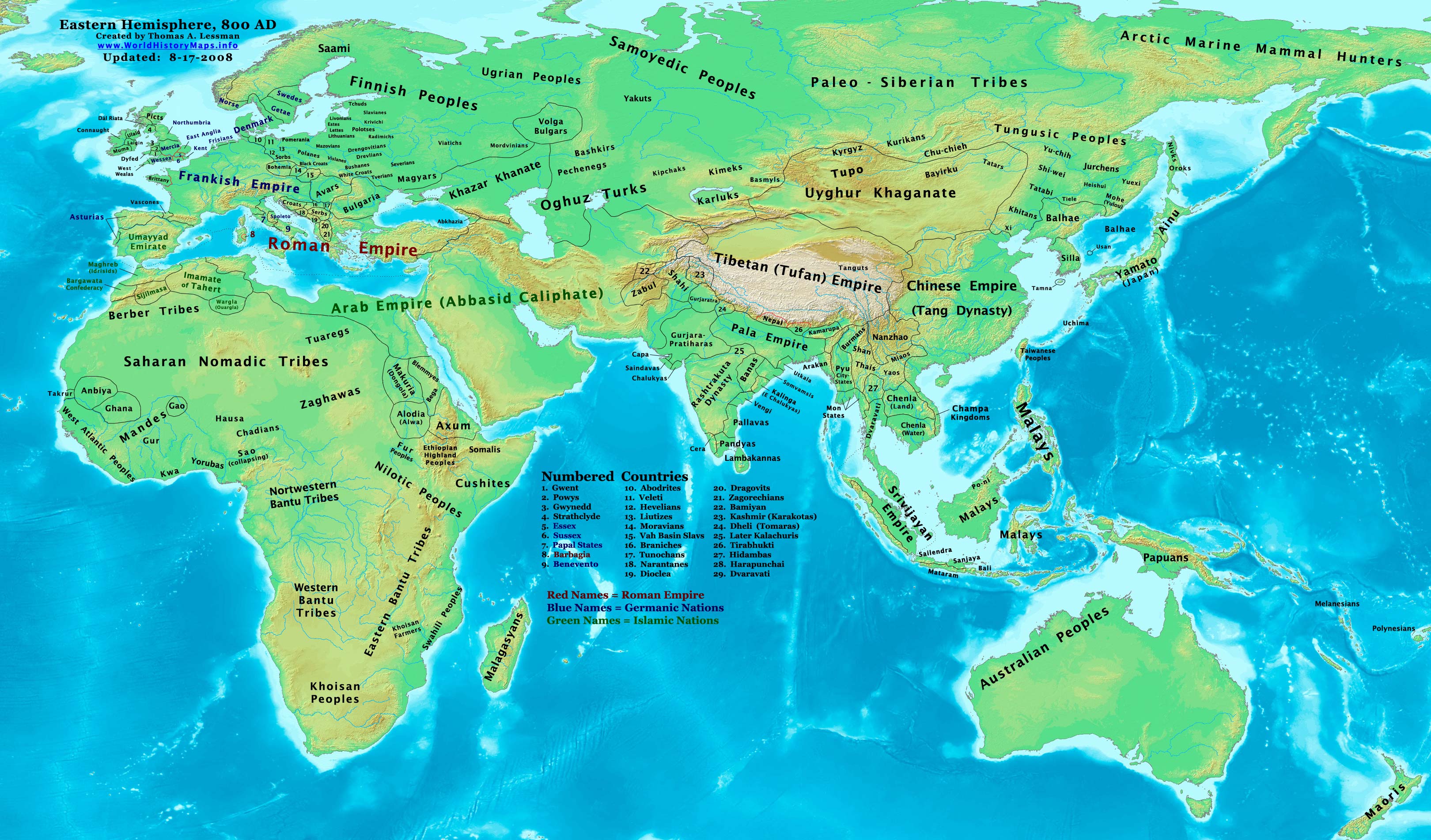
The areas we will be covering won't be exactly the same. Your one seems to be more European, whereas mine would just cover the south of Europe and go into Persia in the east and Arabia in the south, so there's still opportunity for diversity.

Here's what I've done with that map that I was making for you so far :


If it's not the right projection, just use parts of it at a time.

Edited 6/18/2016 19:28:12
Because never enough Europe maps: 6/18/2016 19:30:51


Belgian Gentleman
Level 57
Report
"Fanders"
Because never enough Europe maps: 6/18/2016 19:57:22


zxctycxz [Ollie Bye] 
Level 59
Report
Oh yeah, I'll fix that :D
Because never enough Europe maps: 6/18/2016 19:58:29


Leibstandarte (Vengeance)
Level 45
Report
LOL
Because never enough Europe maps: 6/18/2016 19:58:45


Leibstandarte (Vengeance)
Level 45
Report
Belgian you are Fandish ? xD
Because never enough Europe maps: 6/18/2016 19:59:58


Leibstandarte (Vengeance)
Level 45
Report
http://geacron.com/home-en/?&sid=GeaCron787671

IDK if this will help but there ya go

Edited 6/18/2016 20:00:13
Because never enough Europe maps: 6/18/2016 20:05:26


Ox
Level 58
Report
he's Femish *
Because never enough Europe maps: 6/18/2016 20:22:43


zxctycxz [Ollie Bye] 
Level 59
Report
GeaCron simplifies things in a lot of areas and is out-right incorrect in others. It should really only be a last resort.
Because never enough Europe maps: 6/18/2016 20:43:20


Tchaikovsky Reborn
Level 41
Report
Yeah, Geacron is the worst.

Not only are they inaccurate, but they make me pay 4$ for their app.
Because never enough Europe maps: 6/18/2016 20:44:16


Urfang
Level 57
Report
Yeah GeaCron not seems accurate then rather these:

http://www.worldhistorymaps.info/images/East-Hem_800ad.jpg

http://www.worldhistorymaps.info/images/East-Hem_900ad.jpg

But these are the beginning and the end of the century not the middle.
Because never enough Europe maps: 6/18/2016 20:57:48


zxctycxz [Ollie Bye] 
Level 59
Report
@Urfang: Yes, Thomas Lessman's maps are good, I often use them.
Because never enough Europe maps: 6/18/2016 21:33:15


Urfang
Level 57
Report
Even Lessman dont draw borders in East-Europe but he note many tribes.

And maybe he miscalculate the location of Magyars. The 900AD map is correct but in 800AD as I know Magyars were yet not in Atelkuzu (north from Crimea) but rather closer to South-Ural nearly to Pechenegs. The muslim expansion in Central-Asia caused a migration series, they pushed the Cumans who pushed the Pechenegs who pushed the Magyars who where indeed at Atelkuzu and Levedi where Lessman place but rather just at the middle of the century.
Because never enough Europe maps: 6/19/2016 18:59:53


zxctycxz [Ollie Bye] 
Level 59
Report
I've finished, hope it helps. I've haven't made the tribes massively detailed, because it sounds like you know what you're doing there, but the centralised states should be okay:

Because never enough Europe maps: 6/19/2016 19:56:12


Belgian Gentleman
Level 57
Report
It looks.. magnificient, even in its details. I love it.
Because never enough Europe maps: 6/20/2016 08:39:45


Urfang
Level 57
Report
Thanks a lot zxctycxz. Im planning mainly 5-7 size bonuses so maybe I will use these divisions for Frank Kingdoms. Soon I can show the blank map without borders, Africa not part of it, nor Iberian peninsula, neither North-Scandinavia, and the east-end is the Karelia - Kazaria axis.

I think you over-estimate the avar territory. In this time the Avar Khanate has already collapsed, North-Carpathia came under Great-Moravian influence (thats okay in your map) but Pannonia was already a frankish markgravate and Transylvania came under bulgarian influence. The last small avar bastion in this time was roughly the today East-Hungary.

And I dont know that bulgarians can be considered as south-slavs or not. They were originally turk people from Onoguria in the Azov-region. They fled from khazar expansion and built Volga-Bulgaria on east and Danube-Bulgaria on west. Later the slavic-speaking people assimilated them on west but I think in this time they were still rather turks than slavs.

Edited 6/20/2016 09:53:33
Because never enough Europe maps: 6/20/2016 09:01:04


Urfang
Level 57
Report
Funfact: the name of Hungary came from the turk-bulgarians azovian home Onoguria (on-ogur means ten-tribes in old turk). The europeans believed that hungarians came from there and called their land as Onoguria. The russian "Vengriya", the german "Ungarn", the italian "Ungheria" and the french "Hongrie" all came from "Onoguria". And the english took the french "Hongrie" just they vocalize the french mute-H so this is how birth the name of Hungary.

Another funfact that there are a hungarian version of Hungary (Hungária) and many hungarians believe that we are relatives of huns because of this misunderstood name.
Because never enough Europe maps: 6/20/2016 17:14:42


Жұқтыру
Level 56
Report
Europistan is real - in Turkish and Kazakh and other Turkic tongues, it's said to be "Macaristan" or "Majarastan".
Posts 1 - 20 of 29   1  2  Next >>