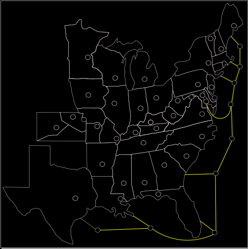
The water ones are a bit odd to me. You have North Atlantic connected to Maryland, then New Jersey coast south of it (NJ is north of Maryland). Why does western gulf not connect to mainland? I am not sure the intent on the water ones, but I think you might want to rework that some.
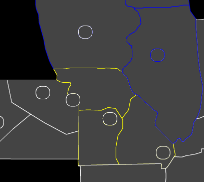
Visually, I would add the surrounding areas as out of bounds (OK/rest of plains). The black hole looks a bit odd to me, but doesn't effect game play. Use this map as an example (might not want to use gray since you have gray territories):
http://warlight.net/SinglePlayer.aspx?PreviewMap=9427
DC as part of both Central USA and Central Cities seems odd. Also, you may want DC to border Virginia since you really wouldn't have to capture Maryland before attacking it.
I'd almost like to see some 'border state' between Maryland and Virginia for play-ability. Not sure how that would fit in historic context though.
Western/Eastern CSA bonus links are reversed (cities are fine).
Kansas has union color but is in border states and western USA and USA bonuses also. Cities in KS are also in conflicting bonuses.
That sounds like a lot, but I like the idea and the map. I look forward to playing it when finished. You should make distribution modes to reflect the North vs South of course (that way borders can be not picked in some modes and could make them more armies if you wanted).


